Regional park
Add to my planner
Parc régional de Beauharnois-Salaberry
| Region | City |
|---|---|
| Montérégie | Salaberry-de-Valleyfield |
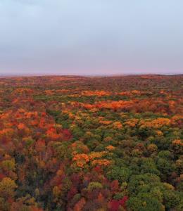
Throughout its network, the Beauharnois-Salaberry Regional Park offers you a kaleidoscope of breathtaking landscapes and ambiances, all within a one-hour drive from Montreal.
The Regional Park is located in the heart of the Beauharnois-Salaberry tourist region and consists of a vast recreational and leisure facility accessible to all for the practice of outdoor activities and healthy lifestyle habits. There are more than 70 km of flat, paved and multifunctional trails for cyclists, pedestrians and in-line skaters.
Map and contact information
The Regional Park is located in the heart of the Beauharnois-Salaberry tourist region and consists of a vast recreational and leisure facility accessible to all for the practice of outdoor activities and healthy lifestyle habits. There are more than 70 km of flat, paved and multifunctional trails for cyclists, pedestrians and in-line skaters.
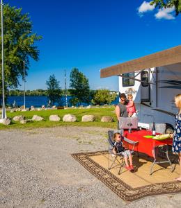
Vehicle and Parking Services
- Free parking
- Parking for motor homes (RV)
Available activities
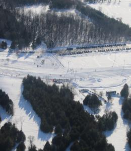
- Cross-country skiing
- Cycling
- Fat biking
- Fishing
- Geocaching
- Hiking
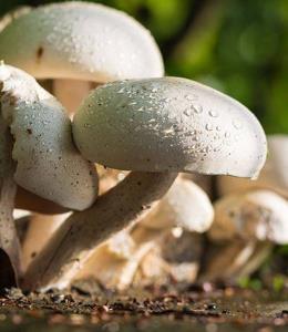
- Nature interpretation/observation
- Roller blade
- Snowshoeing
Restaurant and food services
- Picnic area
Eligible customers
- Adults
- Teens
- Children
- Minimum age required: 0