Trail
Add to my planner
Sentier de l'Orignac
| Region | City |
|---|---|
| Charlevoix | Saint-Siméon |
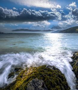
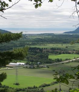
The trail begins at the junction of La Traversée de Charlevoix and Mont Grand Fonds. From there, it goes east to Lac McLeod. The summit of the Montagne des Taillis offers a splendid view of the St. Lawrence and the valley marking the Les Palissades fault. The trail ends in Saint-Siméon.
Map and contact information
Vehicle and Parking Services
- Free parking
- Paid parking
Available activities
- Hiking
- Snowshoeing