Trail
Add to my planner
Parc linéaire des Bois-Francs
| Region | City |
|---|---|
| Centre-du-Québec | Victoriaville |
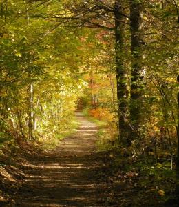
This path, 3 m (10 ft.) wide and 77 km (48 mi.) long, crosses 9 municipalities, from Tingwick to Lyster, passing through downtown, farm and forest areas. Along the way, you'll find accesses, rest stops, picnic areas and lookouts inviting you to relax.
Map and contact information
Vehicle and Parking Services
- Signed access (blue signs)
- Free parking
Available activities
- Cycling
- Hiking
- Roller blade
Services
- Drinking water
- Public telephone
- Baggage transport
Restaurant and food services
- Picnic area


