Trail
Add to my planner
Réseau de Sentiers de la MRC de Charlevoix
| Region | City |
|---|---|
| Charlevoix | Baie-Saint-Paul |
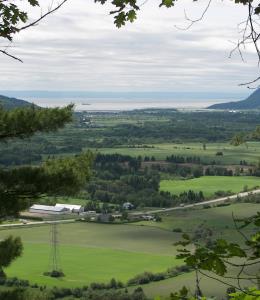
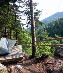
The 95.3-km, 14-segment trail network in the Charlevoix region forms part of the backbone of the Trans Canada Trail and Québec’s National Trail. Its mission is to make the forest accessible for the general public and provide an affordable activity promoting a healthy lifestyle.
Map and contact information
Vehicle and Parking Services
- Free parking
Available activities
- Cross-country skiing
- Hiking
- Snowshoeing
Services
- Drinking water
Restaurant and food services
- Picnic area